
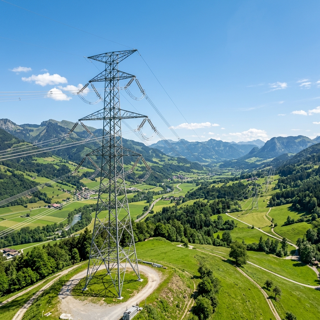
Drone power line inspection uses unmanned aerial vehicles (UAVs) equipped with high-resolution cameras, optical zoom and specialised sensors to examine overhead electricity networks. It helps power utilities identify visible infrastructure defects, monitor transmission and distribution assets, and collect detailed inspection data for maintenance planning.
From high-voltage transmission towers to distribution poles and overhead conductors, drone technology provides a practical way to capture close-up visual information across extensive power networks.
By combining aerial imaging, thermal sensors, geospatial positioning and AI-assisted image analysis, drone-based power line inspection can help utilities improve asset visibility and organise maintenance activities more effectively.
Looking for a power line inspection partner? Explore Agmay's drone electrical inspection services for transmission lines, distribution networks, thermal imaging and LiDAR corridor mapping.
What Is Drone Power Line Inspection?
Drone power line inspection is the process of using remotely operated or automated UAVs to capture images and sensor data from overhead electricity infrastructure.
A drone follows a planned inspection route and collects information about power lines, towers, insulators, connectors and other components. The collected data is then reviewed and processed to identify potential defects and document the condition of the assets.
A typical inspection may cover:
- High-voltage and extra-high-voltage transmission lines
- Medium- and low-voltage distribution lines
- Transmission towers and distribution poles
- Conductors and earth wires
- Insulator strings
- Jumper connections and clamps
- Crossarms, bolts and tower hardware
- Vegetation near overhead power lines
The inspection scope depends on the utility's requirements, infrastructure type, sensor capabilities and operating conditions.
What Can Drones Detect During Power Line Inspection?
High-resolution aerial imagery can help inspection teams identify several types of visible infrastructure problems.
1. Transmission Tower Defects
Drones can capture images of tower structures from different angles to help identify:
- Corrosion and rust formation
- Missing or loose bolts
- Damaged tower members
- Missing joint plates and hardware
- Visible structural deformation
- Damaged crossarms
- Bird nests and other obstructions
Geotagged images help maintenance teams identify the location of reported observations.
2. Damaged Insulators
Insulators support electrical isolation between energised conductors and grounded structures.
Drone cameras with suitable optical zoom can capture close-up imagery that may help identify:
- Broken or cracked insulator units
- Damaged ceramic or glass discs
- Visible surface contamination
- Flashover marks
- Missing insulator components
- Damaged composite insulator surfaces
Visual inspection can identify visible conditions, but it cannot establish every internal or electrical defect. Further testing may be necessary.
3. Conductor and Connector Inspection
Overhead conductors and their associated hardware are essential components of electricity transmission and distribution systems.
Drone imagery may help identify:
- Broken or frayed conductor strands
- Visible corrosion
- Damaged jumper connections
- Loose or damaged clamps
- Missing spacers
- Damaged vibration dampers
- Abnormal sag or visible alignment changes
Findings should be assessed by qualified electrical personnel before maintenance decisions are made.
4. Vegetation Encroachment Monitoring
Trees and vegetation growing near overhead power lines can create operational and safety concerns.
Drones can capture aerial imagery of transmission corridors and help identify locations where vegetation appears to approach the power line route.
When combined with LiDAR data and suitable clearance-analysis methods, corridor surveys can support vegetation assessment and maintenance planning.
How Does Drone Power Line Inspection Work?
A professional inspection programme generally involves the following stages.
1. Route and Asset Planning
The inspection team identifies the power line corridor, tower locations, voltage category, access conditions and inspection objectives.
2. Safety and Flight Assessment
The team assesses electrical hazards, required clearances, surrounding obstacles, airspace restrictions and utility-specific operational procedures.
3. Drone and Sensor Selection
The aircraft and payload are selected according to the required inspection distance, image quality, asset type and environmental conditions. High-resolution RGB and optical zoom cameras are commonly used, while thermal or LiDAR sensors may be added for specific objectives.
4. Aerial Inspection and Image Capture
The drone follows the approved inspection plan and captures images of towers, conductors, insulators and other components.
5. Image Analysis and Defect Identification
Inspection teams review the captured imagery to identify potential defects. AI-assisted computer vision can help classify and organise findings, subject to human validation.
6. Geospatial Mapping and Reporting
Images and observations are associated with asset identifiers and geographical locations. The results can be organised into defect registers, inspection reports and GIS datasets.
7. Maintenance Planning
The utility reviews the findings and determines which assets require further inspection, repair or maintenance.
Technologies Used in Drone Power Line Inspection
Different sensors provide different types of inspection information.
| Technology | Power line inspection application |
|---|---|
| High-resolution RGB cameras | Visual inspection of towers, conductors and fittings |
| Optical zoom cameras | Close-up imagery of insulators and hardware |
| Thermal cameras | Identification of abnormal temperature patterns |
| LiDAR sensors | 3D corridor mapping and vegetation assessment |
| RTK/PPK positioning | Improved georeferencing of inspection observations |
| AI and computer vision | Potential defect identification and image classification |
| GIS platforms | Asset mapping and defect location management |
The sensor combination should be selected according to the inspection requirements rather than assuming that every power line survey needs every technology.
Benefits of Drone-Based Power Line Inspection
Drone inspection can support electricity utilities in several ways:
- Improved access: Capture images of selected difficult-to-reach towers and infrastructure.
- Detailed documentation: Maintain visual records of power line components.
- Efficient corridor coverage: Collect inspection data across extensive routes, subject to weather, battery, airspace and site conditions.
- Reduced climbing requirements: Reduce the need for personnel to climb certain structures solely for visual inspection.
- Better defect localisation: Use geotagged imagery and asset identification to locate findings.
- Repeatable inspection: Compare imagery from different inspection periods.
- Maintenance planning: Organise observations into prioritised maintenance workflows.
Drone inspections complement traditional patrolling, electrical testing and specialist maintenance procedures. They do not eliminate the need for those methods.
Drone Power Line Inspection in India
India's electricity transmission and distribution networks cover diverse terrain, including urban areas, agricultural regions, forests, hills and remote corridors.
The Central Electricity Authority's guidelines for distribution utility operations identify drone-based inspection as a useful approach for critical lines and towers, distribution asset mapping, fault detection, maintenance tracking, vegetation assessment and encroachment monitoring.
Additionally, the Government of India has highlighted Regulation 87 of the Central Electricity Authority (Technical Standards for Construction of Electrical Plants and Electric Lines) Regulations, 2022, which provides for the use of unmanned aerial vehicles for construction and inspection of transmission assets in difficult and inaccessible terrain.
Actual drone operations must follow applicable aviation regulations, airspace permissions, utility procedures and site-specific electrical safety requirements.
What Should a Drone Power Line Inspection Report Include?
A useful inspection report should help the utility understand what was inspected, what was observed and where further action may be required.
Depending on the project, deliverables can include:
- Tower-wise inspection photographs
- Asset identification and location records
- Geotagged potential defect observations
- High-resolution images of electrical components
- Thermal images where applicable
- Vegetation and corridor observations
- GIS maps and spatial datasets
- Defect classification and review status
- Inspection summary and recommended follow-up actions
Structured reporting makes inspection information easier to review and integrate into utility maintenance workflows.
Drone Power Line Inspection Services by Agmay Technologies
Agmay Technologies provides drone-based electrical infrastructure inspection and geospatial solutions for power utilities and infrastructure operators.
Our electrical inspection capabilities include:
- Transmission line inspection
- Distribution network inspection
- Tower and electrical component visual inspection
- Thermal imaging
- LiDAR-based corridor mapping
- Vegetation and right-of-way monitoring
- AI-assisted defect analysis
- GIS mapping and geotagged reporting
Our approach combines drone data collection and geospatial processing to help infrastructure operators obtain organised inspection information for asset monitoring and maintenance planning.
Looking for a drone power line inspection provider?
Discuss your transmission corridors, tower networks, distribution assets and reporting requirements with Agmay Technologies.
Explore Electrical Inspection Services ↗For a broader overview of UAV-based electrical infrastructure inspection, read our complete guide to drone electrical inspection.
Frequently Asked Questions
What is drone power line inspection?
Drone power line inspection uses unmanned aircraft equipped with cameras or specialised sensors to examine overhead electrical infrastructure, including transmission towers, conductors, insulators and distribution lines.
What defects can drones detect in power lines?
Drone imagery can help identify visible corrosion, damaged insulators, missing hardware, broken conductor strands, loose fittings, damaged dampers and vegetation encroachment.
Can drones inspect high-voltage transmission lines?
Drones can be used to inspect selected high-voltage infrastructure when the aircraft, operating procedure, flight conditions and safety clearances are appropriate and approved. Each operation requires a site-specific risk assessment and compliance with applicable requirements.
Can drones inspect live power lines without switching them off?
Certain drone inspection operations can be performed around energised infrastructure without requiring an outage, subject to approved operating procedures, electrical safety requirements and applicable permissions. This should never be assumed for every drone or inspection environment.
Can drones detect power line hotspots?
Yes. Suitable radiometric thermal cameras can capture temperature information that may reveal abnormal heating in accessible electrical components. Results require appropriate inspection conditions and qualified interpretation.
How does LiDAR help in power line inspection?
LiDAR generates three-dimensional point clouds that can support corridor mapping, terrain modelling, vegetation analysis and spatial assessment of overhead infrastructure.
How often should power lines be inspected using drones?
Inspection frequency depends on asset condition, network criticality, terrain, utility maintenance policies and applicable requirements. Utilities should establish inspection schedules through their asset-management and risk-assessment processes.
What is included in a drone power line inspection report?
Reports may include geotagged photographs, asset identification, defect observations, thermal images, GIS maps, inspection summaries and recommended follow-up actions.
Conclusion
Drone power line inspection provides electricity utilities with an additional method for monitoring overhead electrical infrastructure. High-resolution cameras, thermal sensors, LiDAR and AI-assisted image analysis can help identify potential defects, document asset conditions and support maintenance planning.
When combined with qualified engineering review, established safety procedures and conventional inspection methods, drone technology can become a valuable part of modern power line asset management.
Explore Agmay Technologies' drone electrical inspection solutions to discuss your transmission and distribution inspection requirements.