High-Precision Aerial LiDAR
DJI Zenmuse L3 Aerial LiDAR
Long-range 1535 nm aerial LiDAR with dual 100MP mapping cameras for the DJI Matrice 400
- Capacity
- 950 m Range / Up to 16…
- Payload
- Gimbal Payload (1.60 kg)
- Flight time
- Mounted on DJI Matrice 400
DGCA-authorised RPTO No. 23/2025 · Designed and built in India
Drone services · Survey and mapping
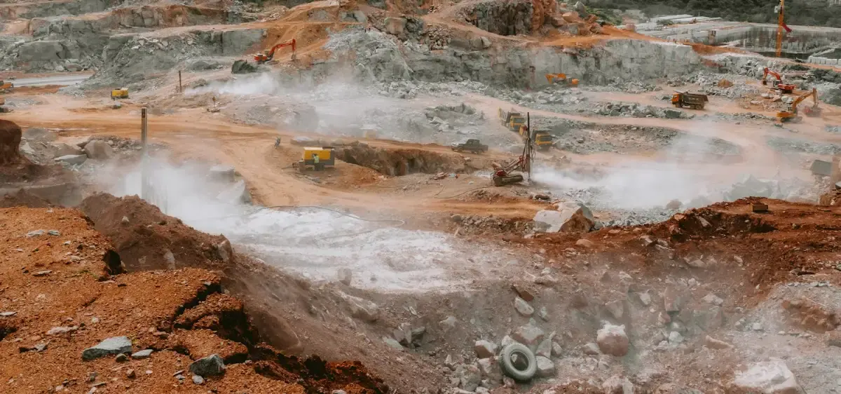
Volumetric surveys for open-cast mines, quarries, aggregate yards and earthworks. Photogrammetry and LiDAR with RTK/PPK control give stockpile volumes, pit models and highwall maps without a surveyor walking the pit.

Why use drones
Comparison
Figures from our standard operating procedures and completed projects.
Surveyors inside the pit
Agmay droneNone
Ground surveyOn benches and near highwalls
Production
Agmay droneHaul trucks keep running
Ground surveyAreas stopped for access
Surface detail
Agmay droneMillions of points across the whole pit
Ground surveySpot heights
| Measure | Agmay drone | Ground survey |
|---|---|---|
| Surveyors inside the pit | None | On benches and near highwalls |
| Production | Haul trucks keep running | Areas stopped for access |
| Surface detail | Millions of points across the whole pit | Spot heights |
Applications
Volumes against an agreed base surface, with tonnage estimates.

Orthomosaics, contours and DEM/DTM models for mine planning.
Repeat surveys document bench angles and visible surface change.
Overlays on the lease boundary flag changes for investigation.
How it works
We agree the site boundary, outputs, accuracy and schedule, and visit or review the site on maps.
Airspace is checked on Digital Sky, permissions are arranged where needed and the flight plan is loaded.
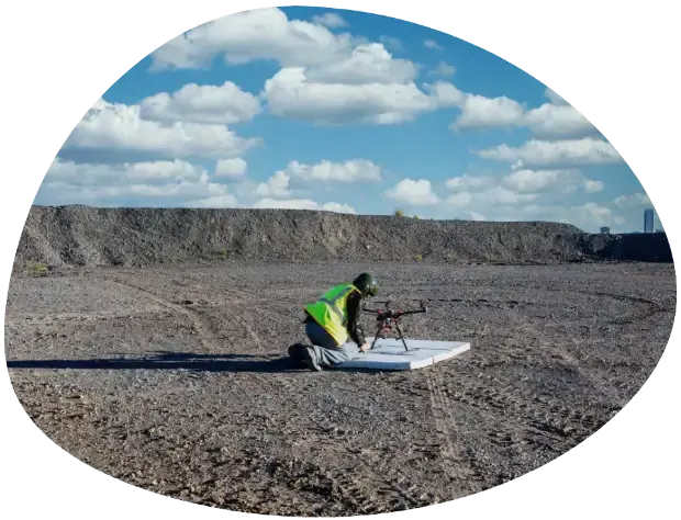
A certified crew flies the mission with the right aircraft and sensor, and checks the data on site.
Data is processed, checked against control points or references and reviewed by a second person.
You receive the agreed files and a short walkthrough, with support for follow-up questions.
Track record
Godavari Valley coalfields
Monthly volume audits of overburden excavation and coal stockpiles.
1.4 million cubic metres of excavation measured within 99.2% of billed quantities.
Equipment: DJI Zenmuse L3 LiDAR and AeroVTOL-X
Karimnagar and Khammam stone belts
Highwall stability inspection, bench slope angles and royalty audit reports.
3D models delivered to Directorate General of Mines Safety (DGMS) requirements.
Equipment: DJI Zenmuse L3 and DJI M400
Deliverables
High-Precision Aerial LiDAR
Long-range 1535 nm aerial LiDAR with dual 100MP mapping cameras for the DJI Matrice 400
Hybrid Fixed-Wing VTOL
Vertical takeoff with pusher fixed-wing cruise for 50+ km corridor mapping & surveillance
Heavy Enterprise Flagship
Heavy-duty enterprise workhorse with up to 59 minutes of flight, a 6 kg payload, LiDAR and mmWave radar…
FAQ
Related

Aerial photogrammetry with DGPS ground control for cadastral boundaries, housing schemes, industrial estates and town planning. A drone covers in a…
1,000+ acres mapped in a working day
Explore the service
We turn drone and satellite data into GIS layers people can use: classified land-use maps, property and asset databases, crop-health analysis and…
24,000+ properties geo-tagged in one municipal project
Explore the service
Long-endurance corridor mapping for highways, railway alignments, canals and river basins, without closing a lane or putting a chain-survey team…
1,200+ linear kilometres mapped
Explore the serviceEnquiry
Share a few details and the right person from our team will get back to you with a plan and a quotation.
Monday to Saturday, 9:00 am – 6:30 pm