Drone services · Inspection

Drone Transmission and Power Line Inspection

Electrical networks run for thousands of kilometres, and inspecting them on foot or by climbing is slow and hazardous. We inspect transmission lines, towers, substations and distribution feeders by drone, with thermal imaging, high-zoom cameras and LiDAR, while the line stays energised.

DGCA-certified pilotsAirspace checked on Digital Sky
ClearanceHot jointUp to 765 kV lines640×512 thermal

Results

corridors inspected up to this voltage class
765 kV
radiometric thermal resolution
640×512
less inspection time on a 20 km line
70%
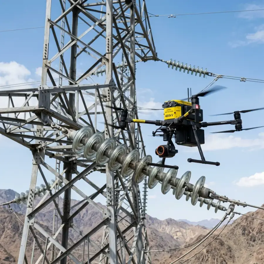
Drone inspecting insulators on a high-voltage transmission tower

Why use drones

What power line inspection gives you

  • Inspections flown without interrupting supply, at the required clearance distances
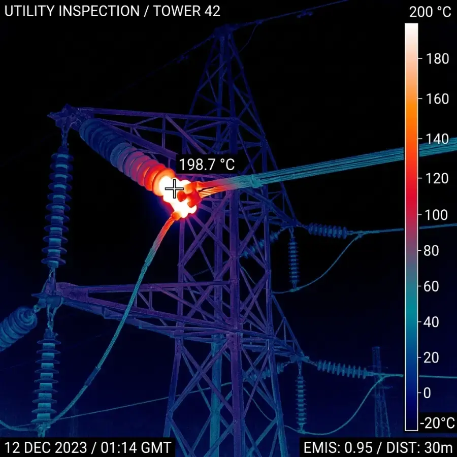
  • Radiometric thermal imaging finds hot connectors, overloaded conductors and failing insulators
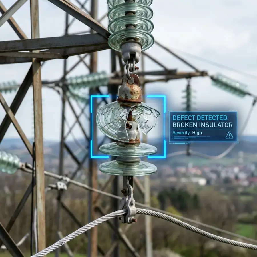
  • High-zoom imagery shows cracked insulators, corrosion, missing hardware and bird nests
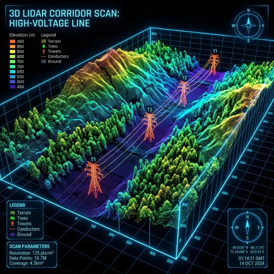
  • LiDAR corridor surveys measure conductor sag and vegetation encroachment
  • Coverage from low-voltage feeders to 400 kV and 765 kV corridors

Comparison

Manual patrol compared with drone inspection

Figures from our standard operating procedures and completed projects.

  • Line outage

    Agmay droneNot required

    Foot patrol and climbingOften required for climbing

  • Crew exposure

    Agmay dronePilot on the ground at safe clearance

    Foot patrol and climbingLinemen on live or isolated towers

  • Evidence

    Agmay droneGeo-tagged thermal and zoom images of every fitting

    Foot patrol and climbingHandwritten patrol notes

  • Vegetation clearance

    Agmay droneMeasured from a LiDAR point cloud

    Foot patrol and climbingEstimated by eye

Applications

Where we use it

  • Transmission line inspection

    Transmission line inspection

    EHV, HV and MV corridors: towers, insulator strings, conductors and fittings.

  • Thermal hotspot detection

    Thermal hotspot detection

    Temperature differences at joints and clamps flagged before they fail.

  • LiDAR corridor survey

    LiDAR corridor survey

    Point clouds of the line, terrain and trees for sag and clearance analysis.

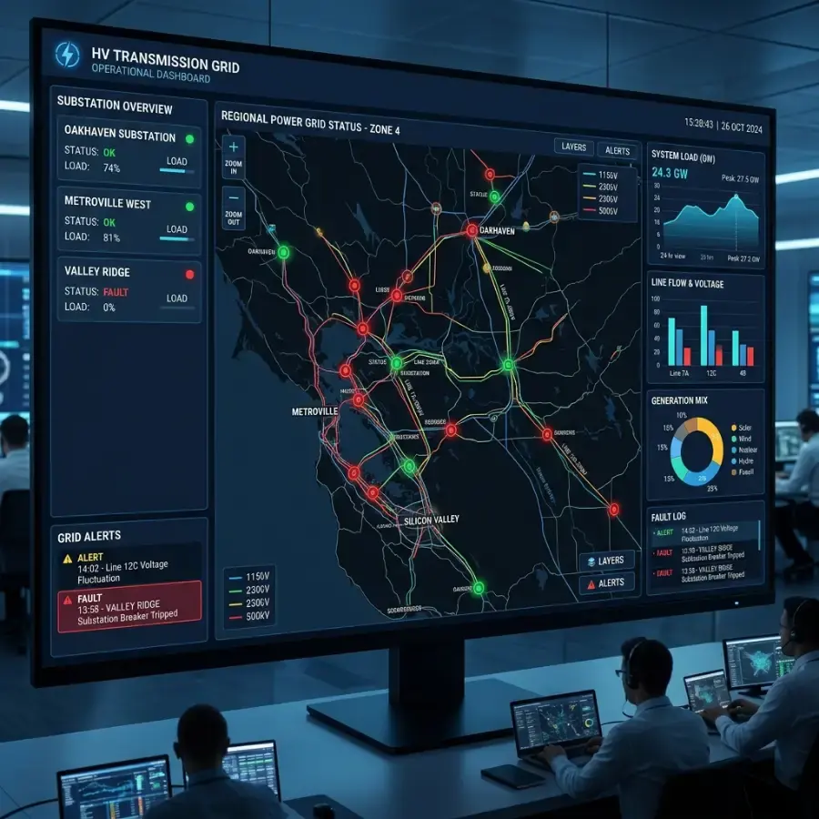
  • GIS asset dashboard

    GIS asset dashboard

    Findings mapped tower by tower for the maintenance team.

Drone view of a double-circuit lattice transmission tower with porcelain insulator strings above cotton and harvested fields

Case study

Drone inspection of 25 transmission towers, Telangana

Telangana · 3 double-circuit lines, about 6 km

Five drone flights in one day captured 7,630 RGB and thermal images of 25 towers on three double-circuit lines. The review produced 129 findings with photo evidence, five of them urgent, and a repair plan with deadlines.

towers inspected in one day
25
RGB and thermal images
7,630
findings with photo evidence
129
urgent repairs found
5
  • Five flights paired an RGB photo with a radiometric thermal frame at every capture
  • Every sharp photo reviewed and every finding graded with a repair deadline
  • No hotspot on any line component in 3,815 thermal frames
  • Delivered as a report, a defect register, annotated photos and a Google Earth file
Read the full case study

How it works

From enquiry to delivered data

  1. 1

    Mission plan

    Line route, voltage class, towers and access points are loaded and a safe stand-off distance is set.

  2. 2

    Permissions

    Airspace and utility permissions are arranged before the crew mobilises.

  3. 3

    Capture

    The crew flies each span with thermal, zoom and, where specified, LiDAR sensors.

  4. 4

    Defect analysis

    Images are screened and each defect is classified by type and severity and tagged to its tower.

  5. 5

    Maintenance plan

    You receive a prioritised defect register, GIS layers and images for the work crews.

Deliverables

What you receive

  • Tower-by-tower defect register with GPS positions and severity
  • Annotated thermal and high-zoom images
  • LiDAR point cloud with sag and vegetation-clearance report
  • GIS layers or dashboard for asset management

Aircraft we use

FAQ

Frequently asked questions

See all questions

Can you inspect without interrupting the power supply?

Yes. Inspections are flown while the line is energised. We keep the required safety clearance and follow the utility’s and CEA safety requirements.

Which voltage levels do you inspect?

Low, medium, high and extra-high voltage networks, including 400 kV and 765 kV corridors.

Do you provide thermal inspection?

Yes, with 640 × 512 radiometric thermal cameras that identify connector hotspots, overloaded lines and heating defects.

Do you work outside Telangana?

Yes. Crews are mobilised from Hyderabad to projects across India.

Related

Related services

Enquiry

Get a quotation for power line inspection

Share a few details and the right person from our team will get back to you with a plan and a quotation.

Monday to Saturday, 9:00 am – 6:30 pm

We use your details only to answer this enquiry. See our privacy policy.