
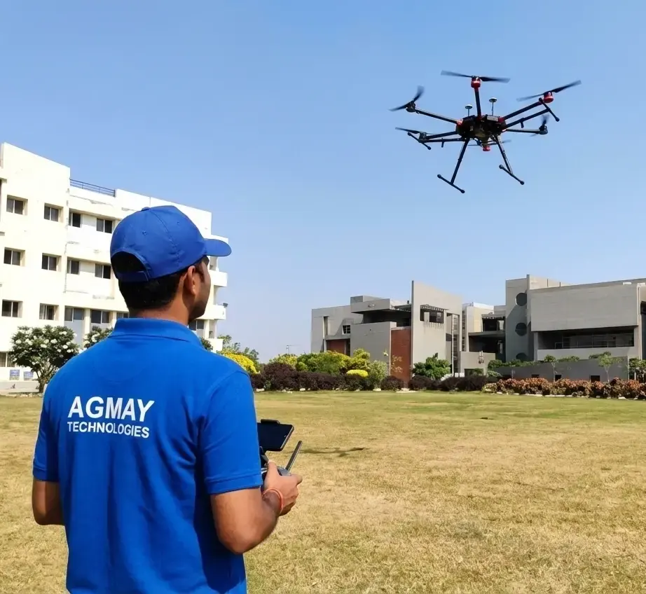
Small class · Rotorcraft · VLOS
DGCA Remote Pilot Certificate (RPC) Course
- Duration
- 5 Days (Full Time)
- Level
- Beginner
- Fee
- ₹18,000 including GST
DGCA-authorised RPTO No. 23/2025 · Designed and built in India
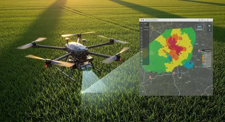
GIS and analytics
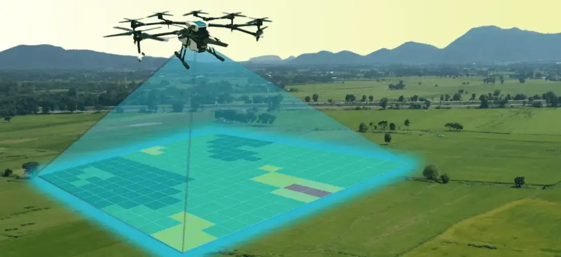
Turn drone images into maps, 3D models and reports clients pay for. You work through complete projects on real datasets with industry software.
About the course
For drone pilots, GIS professionals, civil engineers and anyone who wants to use drone data for decisions. No prior GIS experience is needed. Training uses Pix4D, DroneDeploy, Agisoft Metashape and QGIS with real drone datasets.
Eligibility
Enrolment
Use the form below, call us or message us on WhatsApp.
Admissions confirms the start date, the fee and the documents to bring.
Join your batch at the training base on the first day.
FAQ
More courses
Small class · Rotorcraft · VLOS
Precision Agriculture Specialization
Avionics & Hardware Engineering
GIS & Remote Sensing


Infrastructure and construction

Media and real estate

Public safety
Admissions
Tell us when you would like to start and our admissions team will share the next dates and the fee.
Monday to Saturday, 9:00 am – 6:30 pm