Tactical Thermal Enterprise
DJI Matrice 4T (M4T) Enterprise
Compact enterprise drone with 640×512 thermal, three 48MP cameras, 112× hybrid zoom & an 1,800 m laser…
- Capacity
- Multi-Sensor Payload
- Payload
- Built-in Cameras
- Flight time
- 49 minutes
DGCA-authorised RPTO No. 23/2025 · Designed and built in India
Drone services · Survey and mapping
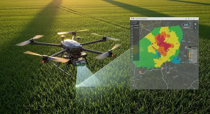
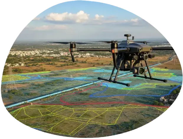
We turn drone and satellite data into GIS layers people can use: classified land-use maps, property and asset databases, crop-health analysis and web dashboards for planning teams.

Why use drones
Applications

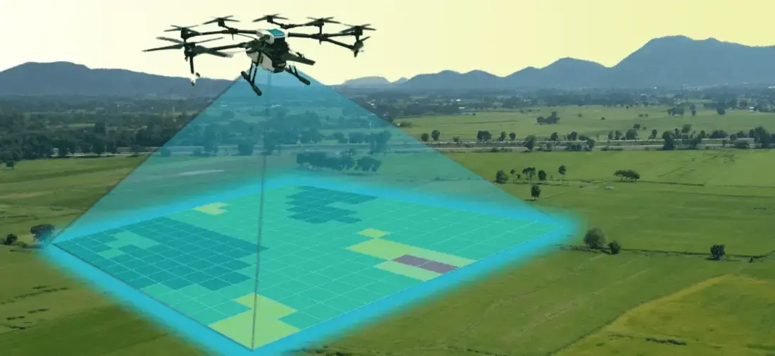
NDVI and multispectral maps that show where a field needs attention.

Property footprints, roads, drains and street assets in one database.

Drainage networks, canopy cover and check-dam siting from terrain models.

Cadastral overlays and land-use classification for revenue departments.
How it works
We agree the site boundary, outputs, accuracy and schedule, and visit or review the site on maps.
Airspace is checked on Digital Sky, permissions are arranged where needed and the flight plan is loaded.
A certified crew flies the mission with the right aircraft and sensor, and checks the data on site.
Data is processed, checked against control points or references and reviewed by a second person.
You receive the agreed files and a short walkthrough, with support for follow-up questions.
Track record
Hyderabad metropolitan region
Drone GIS mapping of municipal assets: roads, streetlights, stormwater drains and commercial property footprints.
More than 24,000 properties geo-tagged with 99.8% spatial accuracy.
Equipment: DJI Matrice 4T and MissionSmith AI GIS cloud
Eastern Ghats watershed project
Drainage network analysis, flow accumulation modelling and check-dam site selection from drone terrain models.
42 water-harvesting structures optimised across 15,000 hectares.
Equipment: AeroVTOL-X and DJI Zenmuse L3 LiDAR
Deliverables
Tactical Thermal Enterprise
Compact enterprise drone with 640×512 thermal, three 48MP cameras, 112× hybrid zoom & an 1,800 m laser…
Hybrid Fixed-Wing VTOL
Vertical takeoff with pusher fixed-wing cruise for 50+ km corridor mapping & surveillance
Agri sprayersAI Smart Scouting Quad
Autonomous edge-AI crop health monitor & targeted spot-sprayer
FAQ
Related

Aerial photogrammetry with DGPS ground control for cadastral boundaries, housing schemes, industrial estates and town planning. A drone covers in a…
1,000+ acres mapped in a working day
Explore the service
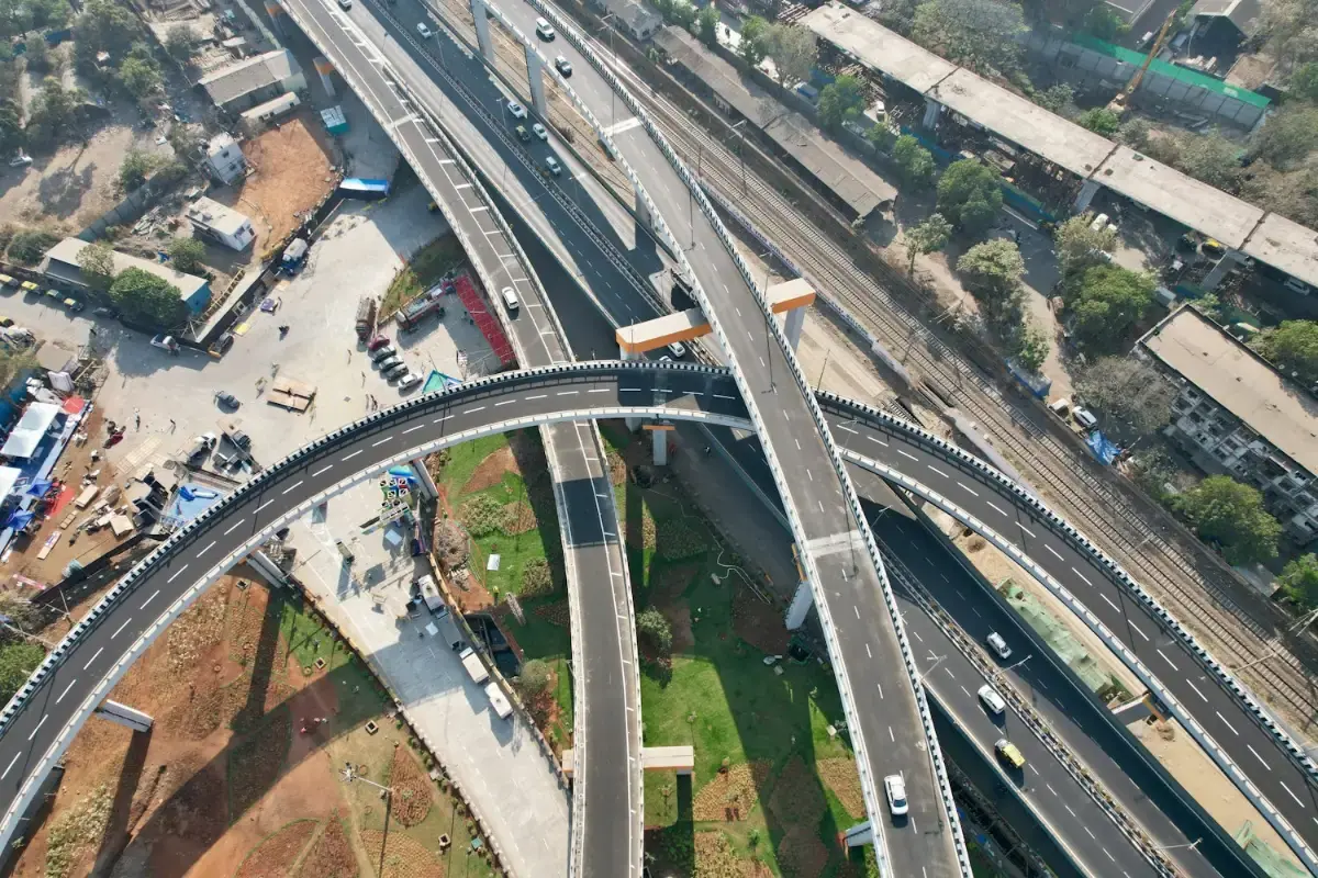
Long-endurance corridor mapping for highways, railway alignments, canals and river basins, without closing a lane or putting a chain-survey team…
1,200+ linear kilometres mapped
Explore the service
Crop protection, foliar nutrition and micronutrient spraying by certified pilots. Our 10 litres-per-acre procedure covers an acre in 3 to 5 minutes,…
25,000+ acres sprayed and mapped
Explore the serviceEnquiry
Share a few details and the right person from our team will get back to you with a plan and a quotation.
Monday to Saturday, 9:00 am – 6:30 pm