

When roads are cut and time is short, a drone is in the air in minutes. Thermal cameras find people, live video reaches the control room and a winch…
< 5 min to launch a sortie
Explore the serviceDGCA-authorised RPTO No. 23/2025 · Designed and built in India
Government and public safety
Rapid aerial situational awareness in a disaster, accurate records for housing and land schemes, and trained in-house drone teams for departments that need their own capability.
The challenge
Who we work with
Solutions
Flown by DGCA-certified pilots, processed and checked by our data team, delivered in the formats you use.
When roads are cut and time is short, a drone is in the air in minutes. Thermal cameras find people, live video reaches the control room and a winch…
< 5 min to launch a sortie
Explore the service
Aerial photogrammetry with DGPS ground control for cadastral boundaries, housing schemes, industrial estates and town planning. A drone covers in a…
1,000+ acres mapped in a working day
Explore the service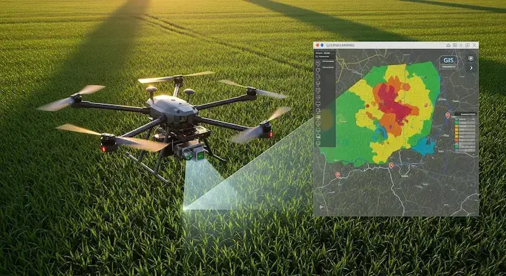
We turn drone and satellite data into GIS layers people can use: classified land-use maps, property and asset databases, crop-health analysis and…
24,000+ properties geo-tagged in one municipal project
Explore the service
Up to 10 kg carried across rivers, ravines, flooded ground and large sites: anti-venom, blood units, vaccines, diagnostic samples and urgent spares.…
10 kg payload
Explore the serviceAircraft
Buy the aircraft for your own team, or let our crews fly it for you.
Anti-Jam Fibre-Optic FPV
FPV drone flown over an optical fibre instead of radio: immune to jamming, independent of GPS, 5 to 50 km…
Long-Range Recon FPV
7" long-endurance FPV quad with a 10+ km video link and GPS rescue for patrol and inspection
10kg Cargo Logistics UAV
Heavy-duty logistics delivery drone with 10kg payload bay and tethered winch delivery
Tactical Thermal Enterprise
Compact enterprise drone with 640×512 thermal, three 48MP cameras, 112× hybrid zoom & an 1,800 m laser…
Training
Courses at our DGCA-authorised academy, for individuals or as dedicated batches for your organisation.
Public safety
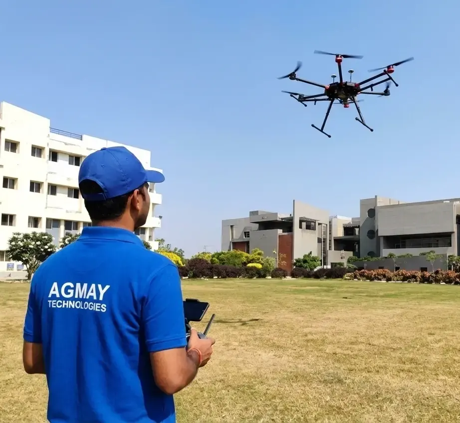
Small class · Rotorcraft · VLOS

Case study
Boundary demarcation and construction-stage verification of 60 housing plots in Arempula village, Khammam district, using drone photogrammetry with DGPS control.
Read the case studyEnquiry
Tell us about your site, assets or acreage and what you need to know. We will come back with the right aircraft, a plan and a quotation.
Monday to Saturday, 9:00 am – 6:30 pm
FAQ