
Advanced UAVs
10kg Cargo Logistics UAV
Agmay CargoLifter-10
Heavy-duty logistics delivery drone with 10kg payload bay and tethered winch delivery
- Capacity
- 10 kg Cargo Payload
- Payload
- 10 kg
- Flight time
- 25 - 35 minutes
DGCA-authorised RPTO No. 23/2025 · Designed and built in India
Drone services · Specialised operations
When roads are cut and time is short, a drone is in the air in minutes. Thermal cameras find people, live video reaches the control room and a winch lowers supplies where boats and vehicles cannot go.

Why use drones
Comparison
Figures from our standard operating procedures and completed projects.
Time to first view of the area
Agmay droneUnder 5 minutes
Ground and boat searchDepends on road and water access
Night and smoke
Agmay droneThermal camera sees heat signatures
Ground and boat searchLimited visibility
Risk to rescuers
Agmay droneArea assessed before teams enter
Ground and boat searchTeams search blind
| Measure | Agmay drone | Ground and boat search |
|---|---|---|
| Time to first view of the area | Under 5 minutes | Depends on road and water access |
| Night and smoke | Thermal camera sees heat signatures | Limited visibility |
| Risk to rescuers | Area assessed before teams enter | Teams search blind |
Applications
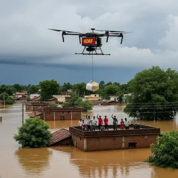
Locate marooned people and guide boats to exact coordinates.
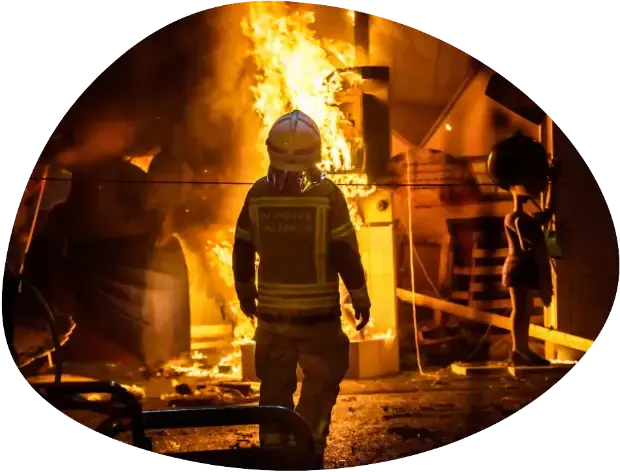
Thermal overview for incident commanders at structure fires.
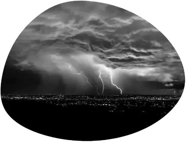
Rapid damage mapping to prioritise relief.
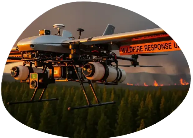
Fire-line tracking through smoke for ground and air crews.
How it works
We agree the site boundary, outputs, accuracy and schedule, and visit or review the site on maps.
Airspace is checked on Digital Sky, permissions are arranged where needed and the flight plan is loaded.
A certified crew flies the mission with the right aircraft and sensor, and checks the data on site.
Data is processed, checked against control points or references and reviewed by a second person.
You receive the agreed files and a short walkthrough, with support for follow-up questions.
Track record
Godavari flood zones, Bhadrachalam
Aerial reconnaissance of flooded villages, locating marooned residents and dropping emergency radios.
42 stranded residents located and rescue boats guided straight to their coordinates.
Equipment: Agmay CargoLifter-10 and DJI Matrice 4T thermal
Nallamala forest reserve
Thermal monitoring of active fire lines to direct water-drop helicopters.
Active fire line mapped across 3,000 hectares through thick smoke.
Equipment: Agmay FPV 7″ long-range and DJI Matrice 4T
Deliverables
10kg Cargo Logistics UAV
Heavy-duty logistics delivery drone with 10kg payload bay and tethered winch delivery
Tactical Thermal Enterprise
Compact enterprise drone with 640×512 thermal, three 48MP cameras, 112× hybrid zoom & an 1,800 m laser…
Long-Range Recon FPV
7" long-endurance FPV quad with a 10+ km video link and GPS rescue for patrol and inspection
FAQ
Related

Up to 10 kg carried across rivers, ravines, flooded ground and large sites: anti-venom, blood units, vaccines, diagnostic samples and urgent spares.…
10 kg payload
Explore the service
Visual and radiometric thermal inspection of towers, turbines, solar plants, stacks and structures while they stay in service. High zoom shows the…
1,500+ utility assets inspected
Explore the service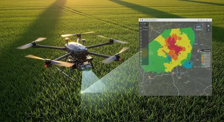
We turn drone and satellite data into GIS layers people can use: classified land-use maps, property and asset databases, crop-health analysis and…
24,000+ properties geo-tagged in one municipal project
Explore the serviceEnquiry
Share a few details and the right person from our team will get back to you with a plan and a quotation.
Monday to Saturday, 9:00 am – 6:30 pm