
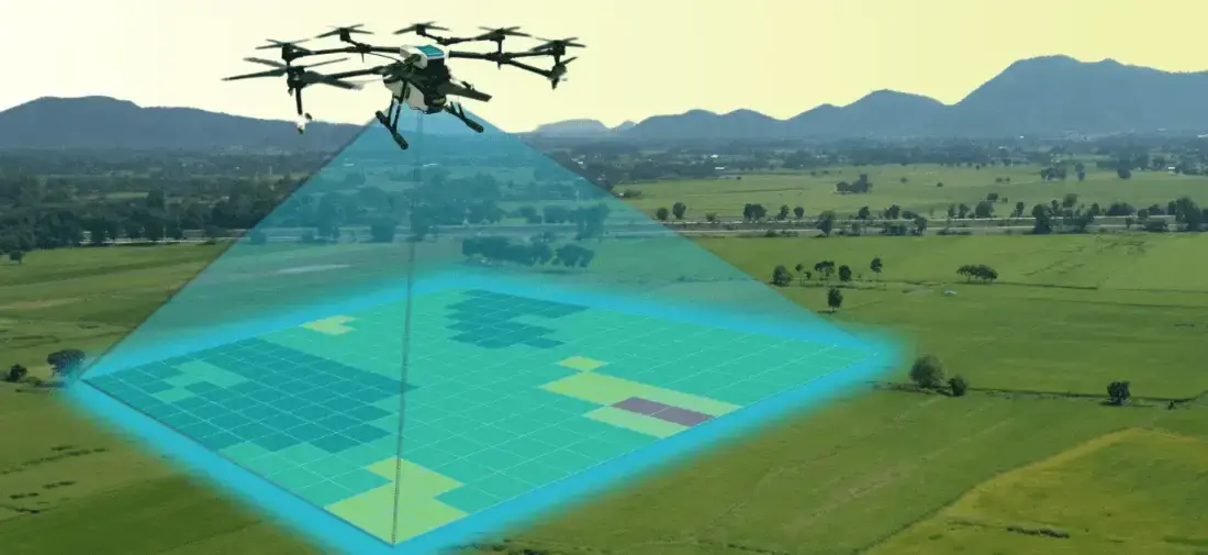
Aerial photogrammetry with DGPS ground control for cadastral boundaries, housing schemes, industrial estates and town planning. A drone covers in a…
1,000+ acres mapped in a working day
Explore the serviceDGCA-authorised RPTO No. 23/2025 · Designed and built in India
Infrastructure, construction and cities
Orthomosaics, terrain models and GIS layers from the air give planners, engineers and municipalities a measured, current picture of the ground in a fraction of the time of a ground survey.
The challenge
Who we work with
Solutions
Flown by DGCA-certified pilots, processed and checked by our data team, delivered in the formats you use.
Aerial photogrammetry with DGPS ground control for cadastral boundaries, housing schemes, industrial estates and town planning. A drone covers in a…
1,000+ acres mapped in a working day
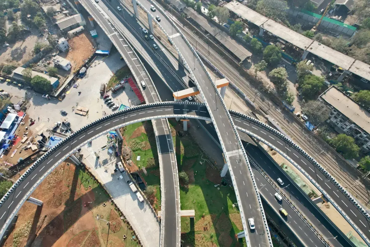
Explore the serviceLong-endurance corridor mapping for highways, railway alignments, canals and river basins, without closing a lane or putting a chain-survey team…
1,200+ linear kilometres mapped
Explore the service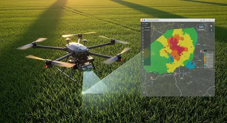
We turn drone and satellite data into GIS layers people can use: classified land-use maps, property and asset databases, crop-health analysis and…
24,000+ properties geo-tagged in one municipal project
Explore the service
A tethered drone washes glass facades, turbine blades and silos up to 120 metres high at 300 bar. There is no scaffolding or cradle, and nobody…
120 m working height
Explore the serviceAircraft
Buy the aircraft for your own team, or let our crews fly it for you.
Hybrid Fixed-Wing VTOL
Vertical takeoff with pusher fixed-wing cruise for 50+ km corridor mapping & surveillance
High-Precision Aerial LiDAR
Long-range 1535 nm aerial LiDAR with dual 100MP mapping cameras for the DJI Matrice 400
Heavy Enterprise Flagship
Heavy-duty enterprise workhorse with up to 59 minutes of flight, a 6 kg payload, LiDAR and mmWave radar…
High-Rise Cleaning Drone
Tethered facade washer reaching 120m height with 300 Bar high-pressure wash nozzles
Training
Courses at our DGCA-authorised academy, for individuals or as dedicated batches for your organisation.
GIS & Remote Sensing

Infrastructure and construction

Case study
Boundary demarcation and construction-stage verification of 60 housing plots in Arempula village, Khammam district, using drone photogrammetry with DGPS control.
Read the case studyEnquiry
Tell us about your site, assets or acreage and what you need to know. We will come back with the right aircraft, a plan and a quotation.
Monday to Saturday, 9:00 am – 6:30 pm
FAQ
More industries