

Crop protection, foliar nutrition and micronutrient spraying by certified pilots. Our 10 litres-per-acre procedure covers an acre in 3 to 5 minutes,…
25,000+ acres sprayed and mapped
Explore the serviceDGCA-authorised RPTO No. 23/2025 · Designed and built in India
Drone services
Certified crews and our own aircraft for thirteen kinds of work, from spraying paddy to inspecting 765 kV lines. One team plans the flight, flies it and delivers data you can act on.
Crop protection, foliar nutrition and micronutrient spraying by certified pilots. Our 10 litres-per-acre procedure covers an acre in 3 to 5 minutes,…
25,000+ acres sprayed and mapped
Explore the service
Health checks, repairs and annual maintenance contracts that keep agricultural and enterprise drones airworthy. Work is done by the technicians who…
Explore the service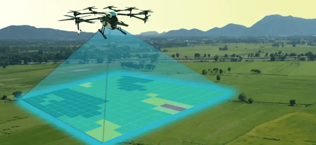
Aerial photogrammetry with DGPS ground control for cadastral boundaries, housing schemes, industrial estates and town planning. A drone covers in a…
1,000+ acres mapped in a working day
Explore the service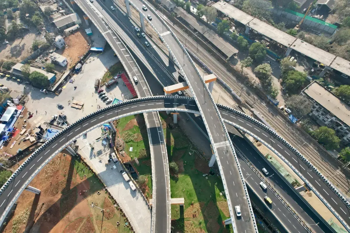
Long-endurance corridor mapping for highways, railway alignments, canals and river basins, without closing a lane or putting a chain-survey team…
1,200+ linear kilometres mapped
Explore the service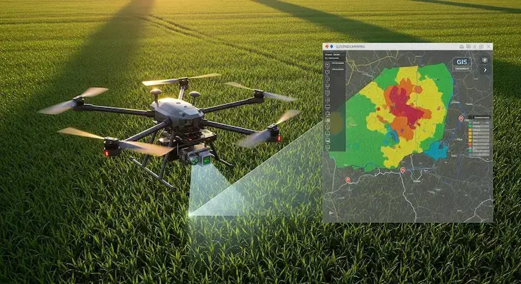
We turn drone and satellite data into GIS layers people can use: classified land-use maps, property and asset databases, crop-health analysis and…
24,000+ properties geo-tagged in one municipal project
Explore the service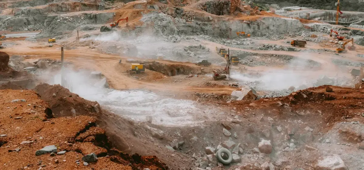
Volumetric surveys for open-cast mines, quarries, aggregate yards and earthworks. Photogrammetry and LiDAR with RTK/PPK control give stockpile…
50+ active quarry pits surveyed
Explore the service
Visual and radiometric thermal inspection of towers, turbines, solar plants, stacks and structures while they stay in service. High zoom shows the…
1,500+ utility assets inspected
Explore the service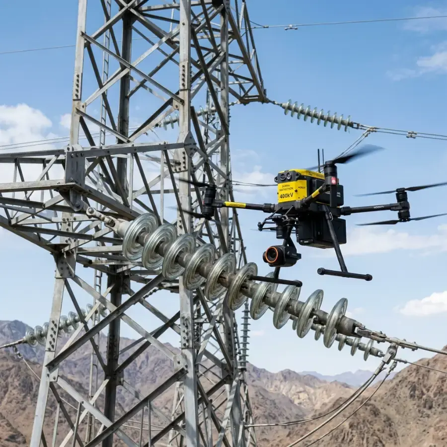
Electrical networks run for thousands of kilometres, and inspecting them on foot or by climbing is slow and hazardous. We inspect transmission…
765 kV corridors inspected up to this voltage class
Explore the service
Thermal and visual inspection for utility-scale solar farms and commercial rooftops, with every defect located on a map. The same data guides drone…
up to 90% faster than manual inspection
Explore the service
Track, bridges, tunnels, overhead electrification and stations inspected from the air with RTK positioning, LiDAR and thermal imaging. Flights are…
50 km of track captured in one project
Explore the service
When roads are cut and time is short, a drone is in the air in minutes. Thermal cameras find people, live video reaches the control room and a winch…
< 5 min to launch a sortie
Explore the service
Up to 10 kg carried across rivers, ravines, flooded ground and large sites: anti-venom, blood units, vaccines, diagnostic samples and urgent spares.…
10 kg payload
Explore the service
A tethered drone washes glass facades, turbine blades and silos up to 120 metres high at 300 bar. There is no scaffolding or cradle, and nobody…
120 m working height
Explore the serviceWhy Agmay
Every flight is flown by a DGCA-certified remote pilot, with airspace checked on Digital Sky and permissions arranged where needed.
We build, maintain and repair the drones we fly, so crews arrive with calibrated equipment and spares.
Reports, maps and models are delivered in standard formats for GIS, CAD and asset-management software.
Our engineers in Hyderabad adapt payloads, flight plans and processing to the job.
How it works
We agree the site boundary, outputs, accuracy and schedule, and visit or review the site on maps.
Airspace is checked on Digital Sky, permissions are arranged where needed and the flight plan is loaded.
A certified crew flies the mission with the right aircraft and sensor, and checks the data on site.
Data is processed, checked against control points or references and reviewed by a second person.
You receive the agreed files and a short walkthrough, with support for follow-up questions.
FAQ
Share the location, area and timeline. We will reply with a scope, the aircraft and crew we propose and a price.