
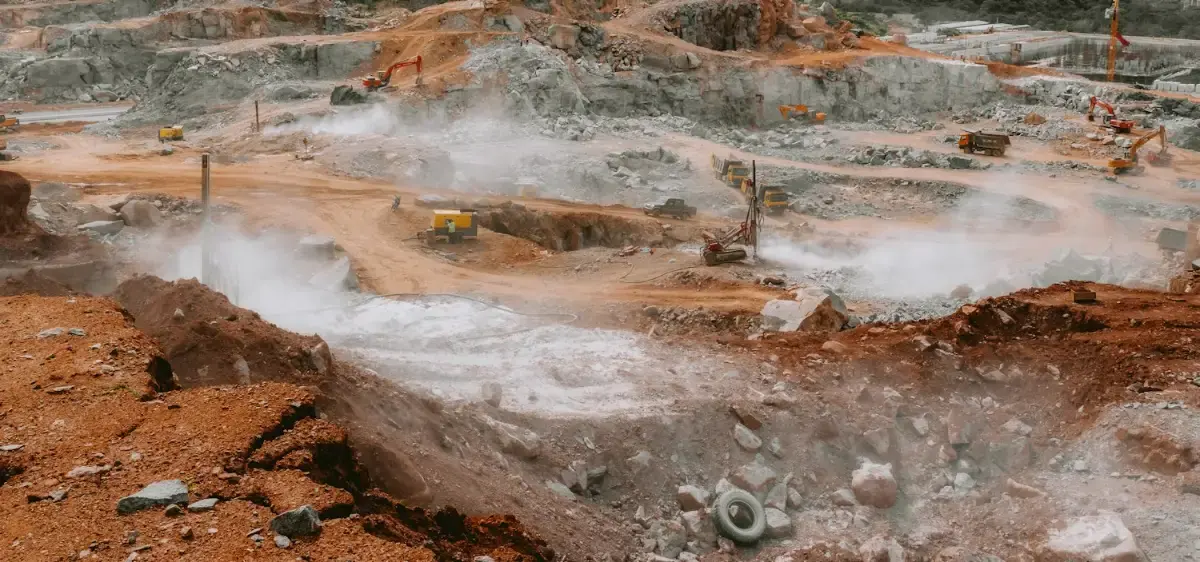
Volumetric surveys for open-cast mines, quarries, aggregate yards and earthworks. Photogrammetry and LiDAR with RTK/PPK control give stockpile…
50+ active quarry pits surveyed
Explore the serviceDGCA-authorised RPTO No. 23/2025 · Designed and built in India
Mining and natural resources
Measure stockpiles, pits and benches without stopping the work or sending surveyors onto unstable ground, and keep a dated record of every month’s progress.
The challenge
Who we work with
Solutions
Flown by DGCA-certified pilots, processed and checked by our data team, delivered in the formats you use.
Volumetric surveys for open-cast mines, quarries, aggregate yards and earthworks. Photogrammetry and LiDAR with RTK/PPK control give stockpile…
50+ active quarry pits surveyed
Explore the service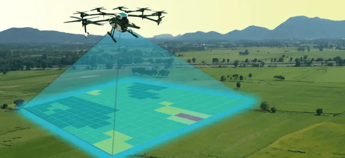
Aerial photogrammetry with DGPS ground control for cadastral boundaries, housing schemes, industrial estates and town planning. A drone covers in a…
1,000+ acres mapped in a working day
Explore the service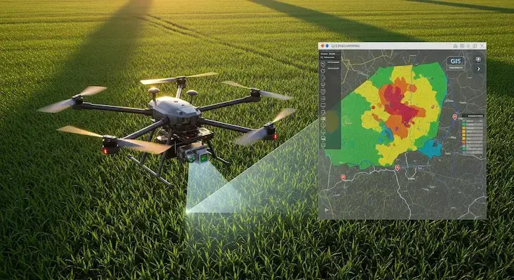
We turn drone and satellite data into GIS layers people can use: classified land-use maps, property and asset databases, crop-health analysis and…
24,000+ properties geo-tagged in one municipal project
Explore the serviceAircraft
Buy the aircraft for your own team, or let our crews fly it for you.
Hybrid Fixed-Wing VTOL
Vertical takeoff with pusher fixed-wing cruise for 50+ km corridor mapping & surveillance
High-Precision Aerial LiDAR
Long-range 1535 nm aerial LiDAR with dual 100MP mapping cameras for the DJI Matrice 400
Heavy Enterprise Flagship
Heavy-duty enterprise workhorse with up to 59 minutes of flight, a 6 kg payload, LiDAR and mmWave radar…
Training
Courses at our DGCA-authorised academy, for individuals or as dedicated batches for your organisation.
GIS & Remote Sensing
Enquiry
Tell us about your site, assets or acreage and what you need to know. We will come back with the right aircraft, a plan and a quotation.
Monday to Saturday, 9:00 am – 6:30 pm
FAQ