
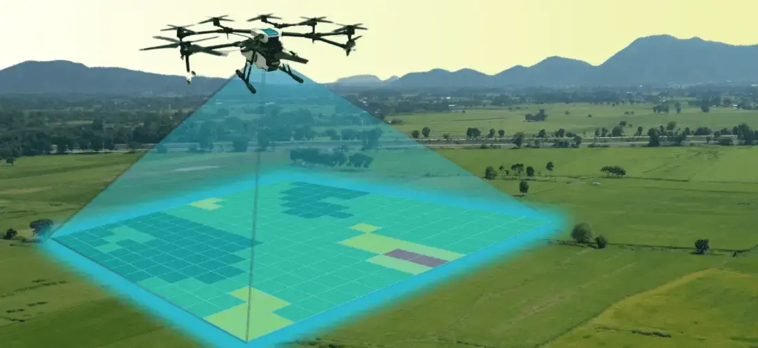
Aerial photogrammetry with DGPS ground control for cadastral boundaries, housing schemes, industrial estates and town planning. A drone covers in a…
1,000+ acres mapped in a working day
Explore the serviceDGCA-authorised RPTO No. 23/2025 · Designed and built in India
Case study · Land survey and GIS
Boundary demarcation and construction-stage verification of 60 housing plots in Arempula village, Khammam district, using drone photogrammetry with DGPS control.
Arempula Village, Khammam District, Telangana
The housing scheme needed every beneficiary's plot demarcated and the construction stage of each house verified. Measuring 60 plots on foot is slow and leaves no visual record of the site.
Every plot was mapped with coordinates, dimensions and area (an average of 765.4 Sq. Ft.), and each house was placed in one of three construction stages. The orthomosaic gives the authorities a dated, verifiable record of the whole layout.
Survey data
Filter the sample plot records by construction stage and see where they sit on the site.
Classified from the drone orthomosaic
| Plot | Stage | Area (sq ft) | Size (ft) | Easting | Northing |
|---|---|---|---|---|---|
| 1 | Slab | 1,319.17 | 32.7 × 40.3 | 401633.64 | 1910266.18 |
| 2 | Slab | 911.52 | 28.2 × 32.3 | 401654.51 | 1909982.76 |
| 14 | Walled | 416.62 | 13.3 × 31.4 | 401129.55 | 1909868.10 |
| 15 | Walled | 555.77 | 23.6 × 23.6 | 401178.85 | 1909863.23 |
| 35 | Basement | 680.50 | 22 × 30.9 | 401488.20 | 1909812.40 |
| 42 | Basement | 750.10 | 24.5 × 30.6 | 401312.80 | 1909754.10 |
Showing 6 of the sample records from the survey dataset. Coordinates are UTM metres. Scroll the table sideways to see every column.
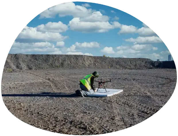

Services used
Aerial photogrammetry with DGPS ground control for cadastral boundaries, housing schemes, industrial estates and town planning. A drone covers in a…
1,000+ acres mapped in a working day
Explore the service
We turn drone and satellite data into GIS layers people can use: classified land-use maps, property and asset databases, crop-health analysis and…
24,000+ properties geo-tagged in one municipal project
Explore the service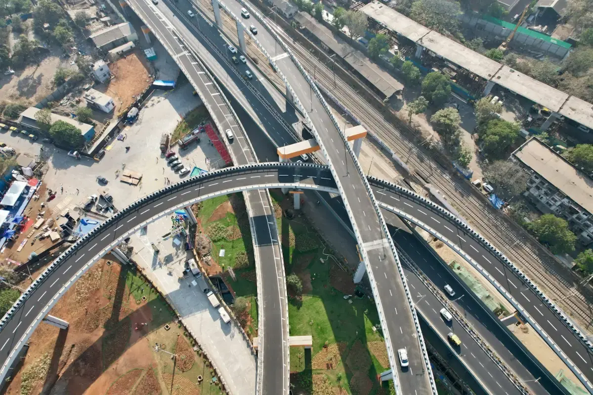
Long-endurance corridor mapping for highways, railway alignments, canals and river basins, without closing a lane or putting a chain-survey team…
1,200+ linear kilometres mapped
Explore the serviceWe survey housing schemes, villages and land parcels with drone photogrammetry and DGPS control.